In collaboration with the ITC faculty of the University of Twente, the Netherlands Court of Audit has developed an online course for the international community of supreme audit institutions to make more and better use of geospatial information in their work. The course is an outcome of many years’ cooperation with audit institutions in the Arab world.
A delegation from the Court of Audit will present the online course in Egypt at the end of October during the global congress of INTOSAI, the International Organisation of Supreme Audit Institutions.
Experience gained in the Arab world
The experience gained from the Court’s 2022-2026 Sharaka cooperation programme with 7 audit institutions in North Africa and the Middle East has shown that audit institutions benefit from the use of geospatial information. The use of maps in audit reports on, for instance, government measures to achieve the UN’s sustainable development goals or to implement climate or water policies strengthens the message communicated to public authorities and other users.
The Court of Audit developed the online English-language course on geospatial auditing in collaboration with an expert from the University of Twente. The Massive Open Online Course was developed with the assistance of the university’s ITC faculty, which was originally founded to train students and professionals from developing countries.
Method developed following the tsunami disaster in Asia
The Court of Audit has been actively working with geospatial information since international audit institutions joined forces to audit the 2004 tsunami disaster in Asia. The Netherlands has since been one of the participants in the development of an international standard on how audit institutions can apply the instrument in disaster management audits. See, for example, the speech given by the Court’s former president Saskia J. Stuiveling at the 2013 Geospatial World Forum in Rotterdam.
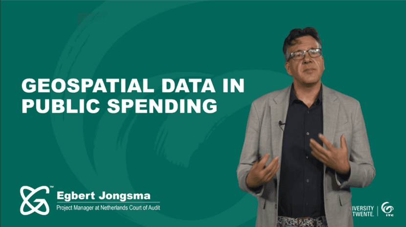
Project manager Egbert Jongsma says about the latest initiative, “The course offers practical guidance on how to use geospatial information in audit. It is a sustainable way to share expertise online. We are offering it free of charge to supreme audit institutions and other interested parties, such as geospatial scientists who want audit institutions to make use of their expertise and knowhow. It is a low-threshold means to offer support and inspiration online. Not having to fly halfway round the world also reduces our carbon footprint.”
Financial support from the Dutch Ministry of Foreign Affairs
This form of knowledge sharing would not have been possible without the Dutch Ministry of Foreign Affairs’ funding of the Sharaka programme. The online course will remain available on the University of Twente’s educational Geoversity platform in the years ahead. Where appropriate it will be updated and augmented with case studies from around the world.
For an introduction to Geoversity’s online course visit.